August 8, 2015 - Flying the Susquehanna River Part 1
|
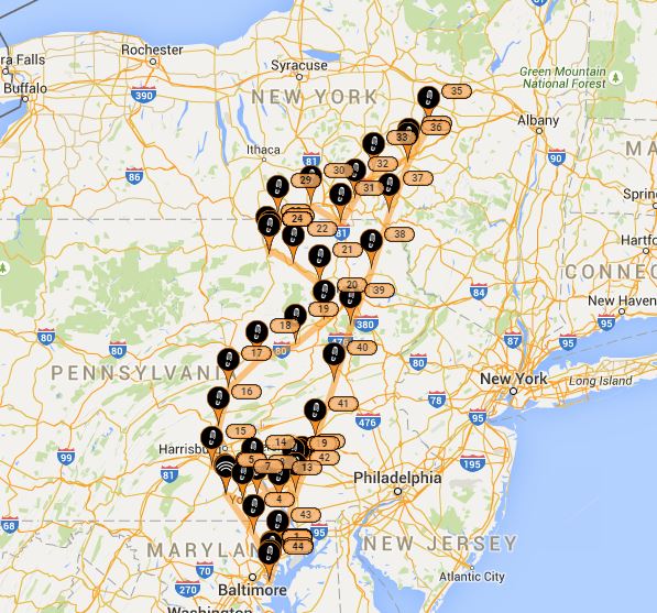
| After attending the Smoketown fly-in Saturday morning, I still had the entire afternoon, so I decided to follow the Susquehanna River from where it empties into the Chesapeake north to its beginnings somewhere in New York. |
| |
 |
|
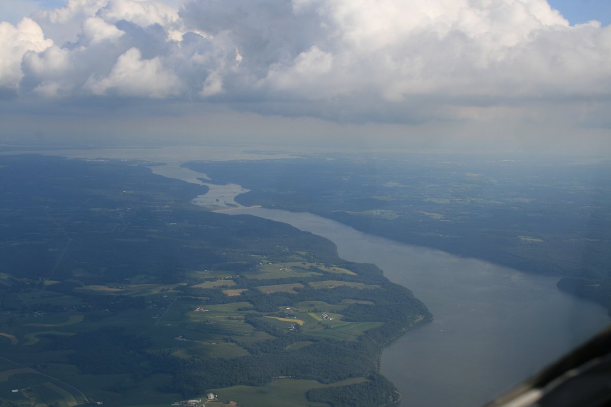
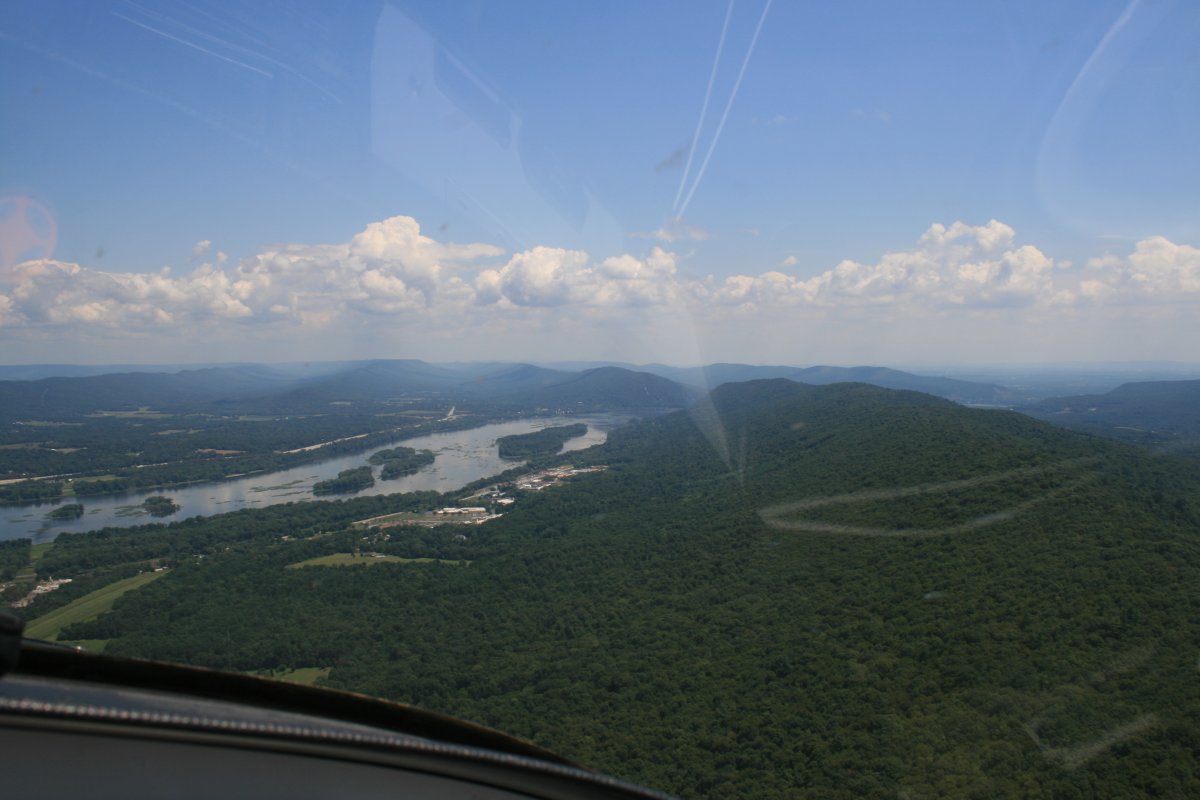
| The Susquehanna River flowing to the east where it empties into the top of the Chesapeake Bay. |
| |
 |
|
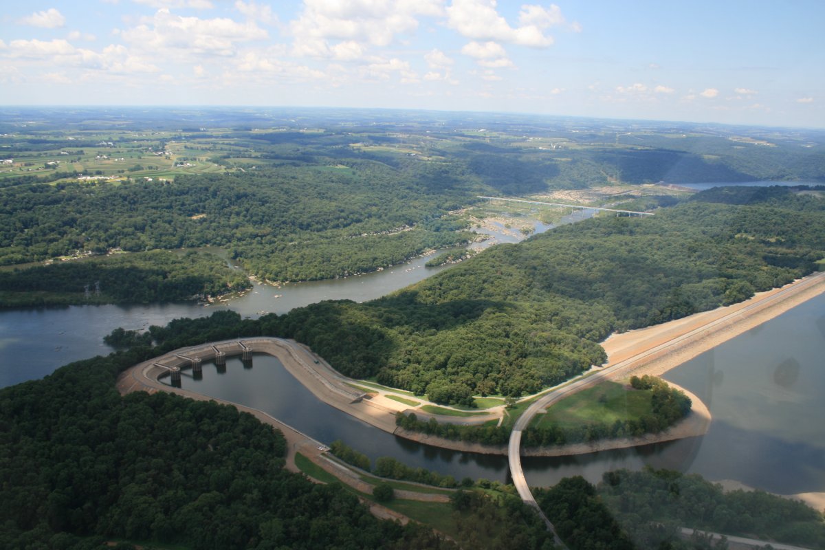
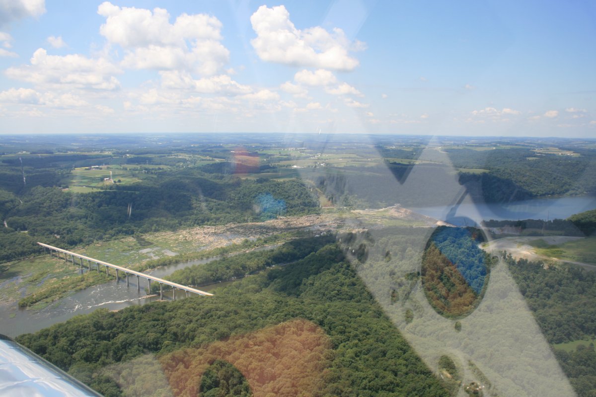
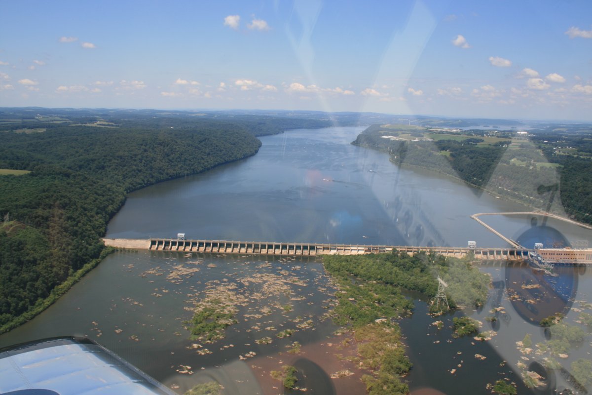
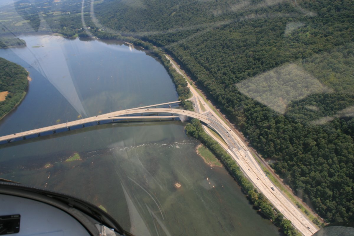
| The river has been extensively "modified" around this area with dams and bridges. |
| |
 |
|
|
I wonder what it looked like back in the day before dams.
|
| |
 |
|
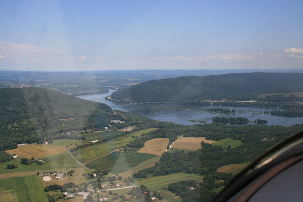
| The river is wide before encountering the dams. |
| |
 |
|
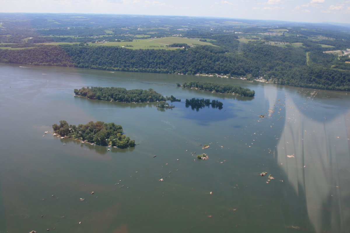
| I was surprised to see these little islands in the river were populated with houses and docks. |
| |
 |
|
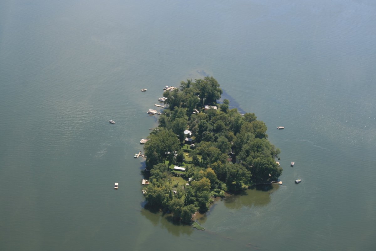
| A closer look at one of the islands. |
| |
 |
|
|
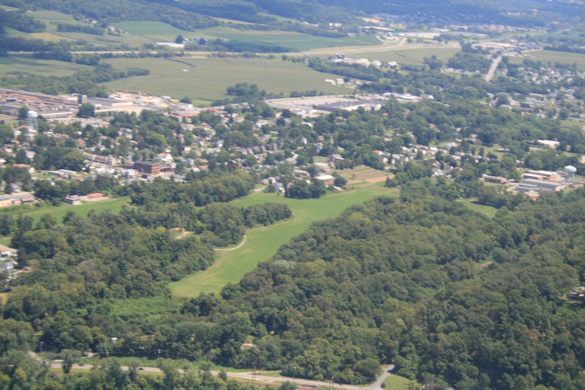
Located on the northeast side of the river just south of Columbia, this used to be a public grass strip. I landed here once in the Citabria. Although it's no longer on the chart, it looks the same as I remember it.
|
| |
 |
|
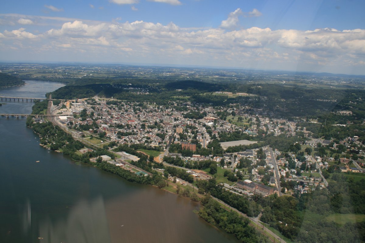
| The river town of Columbia with Harrisburg in the distance. |
| |
 |
|
|
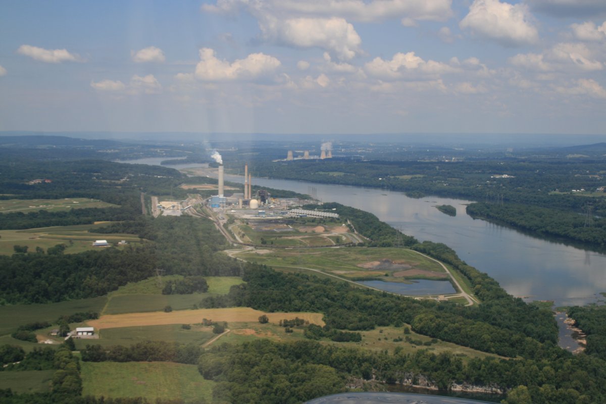
A factory or powerplant of some sort on the near shore and the famous -- or infamous -- Three Mile Island nuclear plant on the far shore. Everyone has heard of Three Mile Island, but you know, I honestly didn't really know where it was. I had no idea it was this close.
|
| |
 |
|
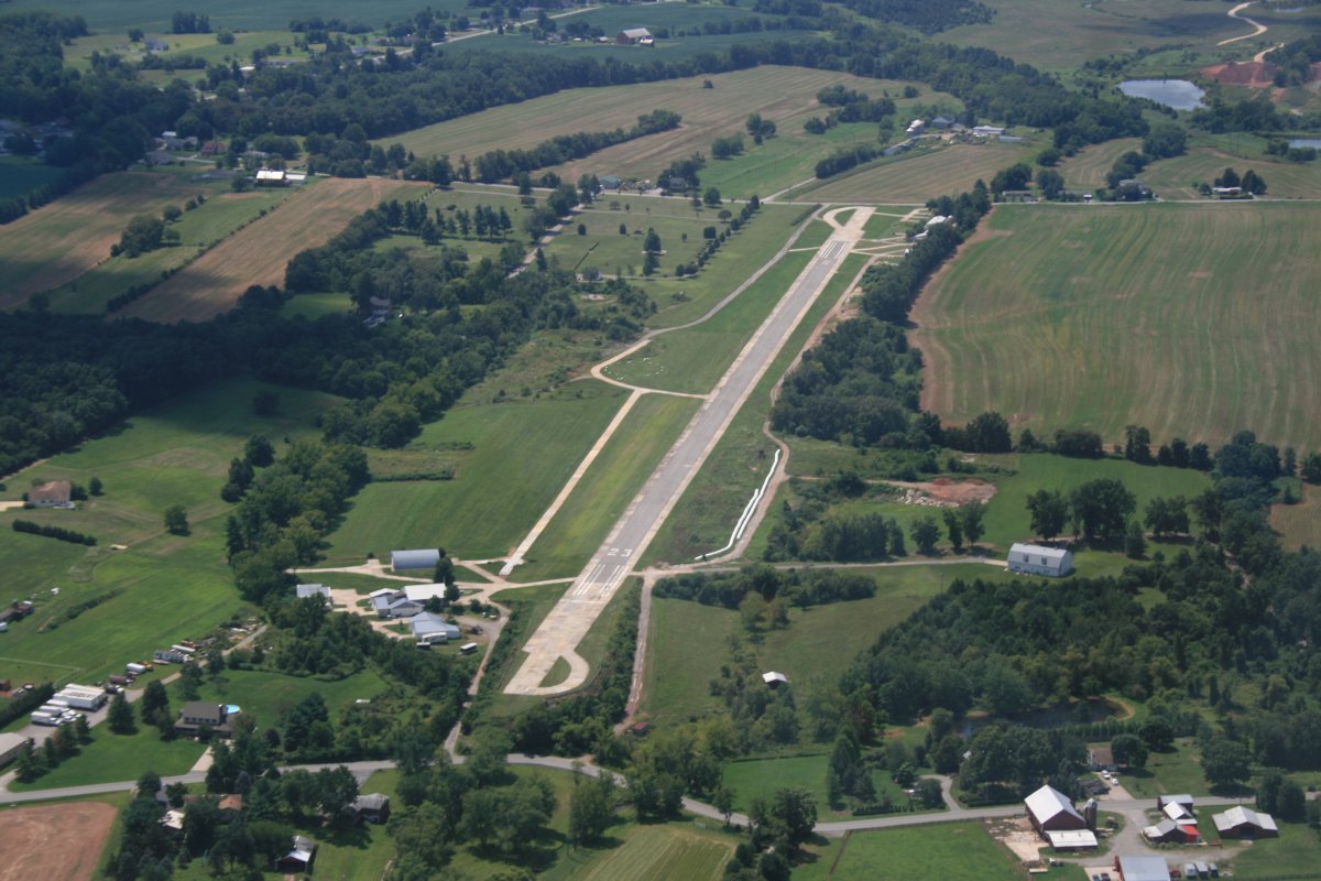
| I checked out the Lazy-B Ranch Airport (0P8) to the west, since I had to go around the Harrisburg Class C airspace anyways. Nothing remarkable about it. It's a privately-owned public airport |
| |
 |
|
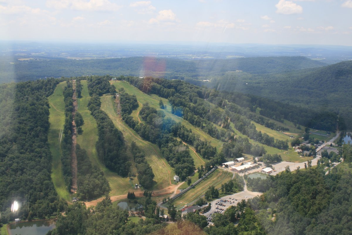
| Passing by the Roundtop Mountain Ski Resort. |
| |
 |
|
|
I had to leave the river to get around the Harrisburg Airspace. I suppose I could have asked Approach for a transition along the river but I didn't feel like talking to them.
Here I'm rejoining the river, looking south, as it leaves the Harrisburg flatlands into the Pennsylvania mountain ridges.
|
| |
 |
|
|
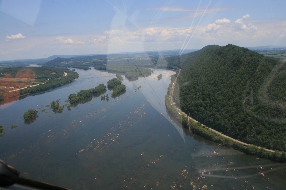
Looking north, the river cuts through a ridge.
|
| |
 |
|
| Highway 322 from Harrisburg crosses the river near Duncannon. |
| |
 |
|
|
Here we go! I'm on the river now.
|
| |
 |
|
| A big auto junkyard on the side of the river. Not visible from the ground; kind of an eyesore from the air. |
| |
 |
|
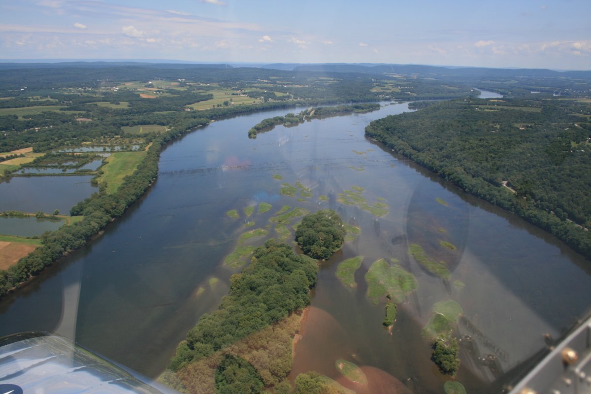
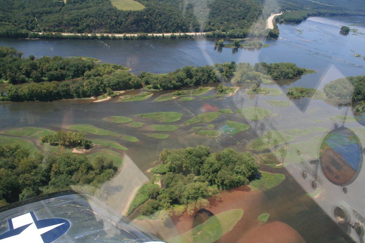
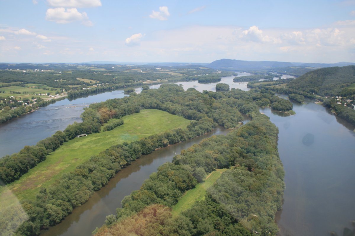
| The Susquehanna River is a little different from the other rivers I've flown in that it has a lot of islands. Big islands. |
| |
 |
|
| |
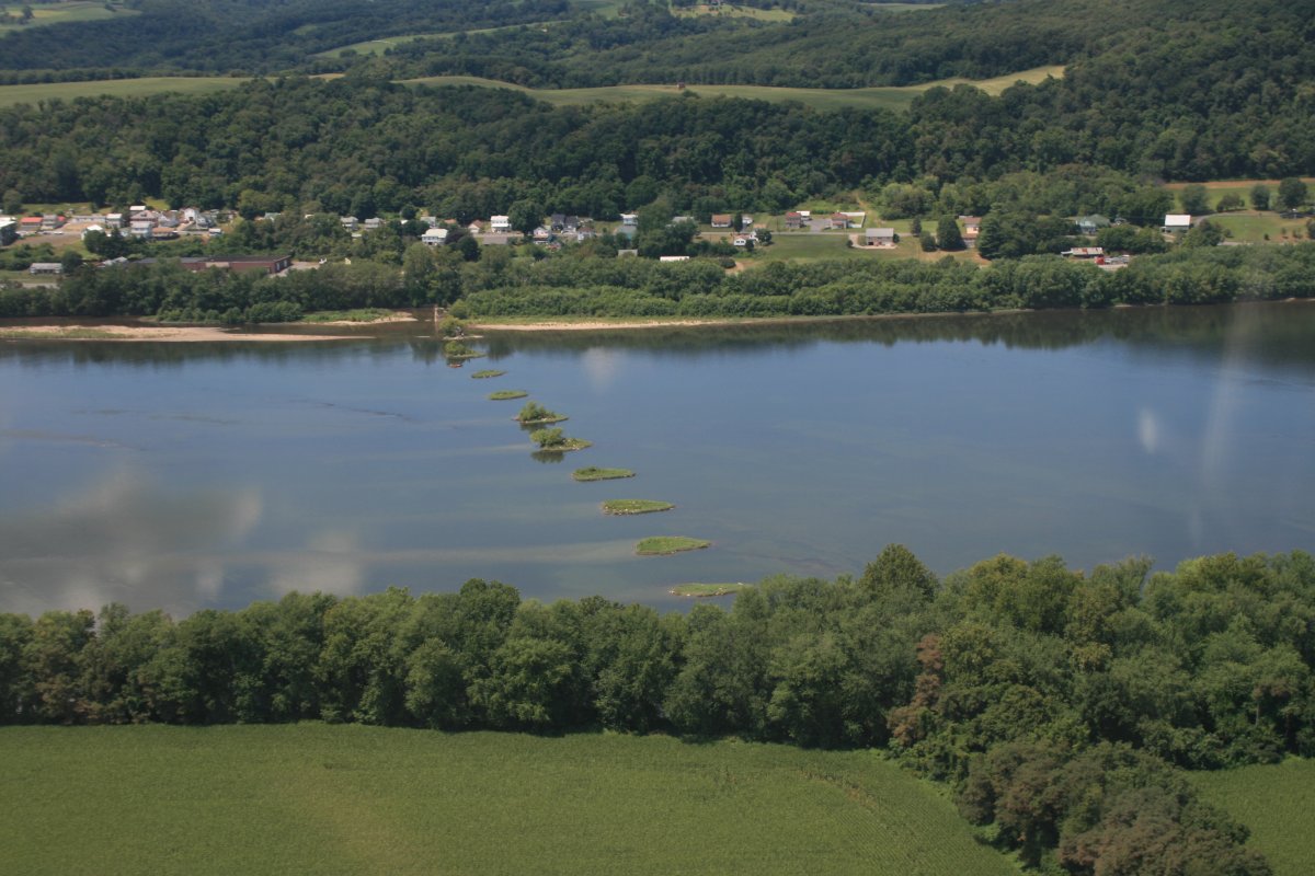
| Aerial river art. |
| |
 |
|
|
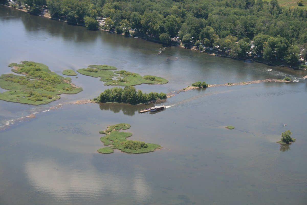
A ferry runs people and things across the river.
|
| |
 |
|
|
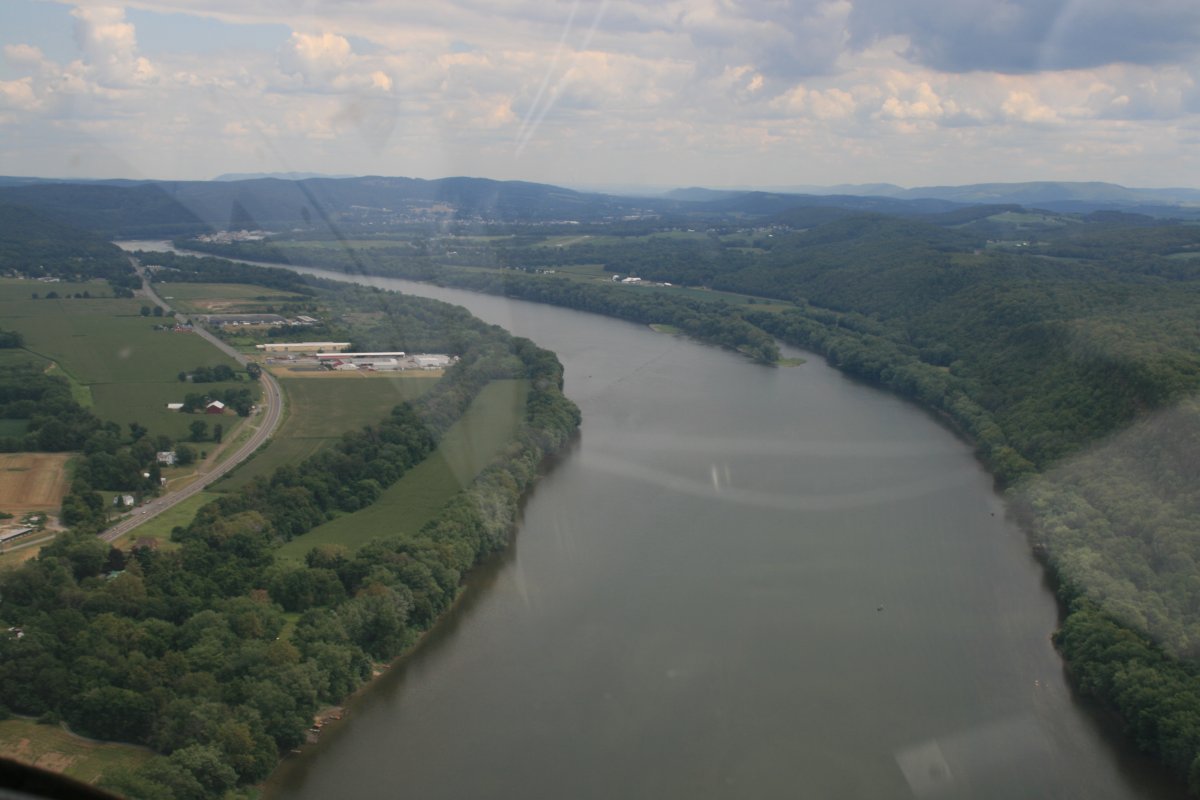
The river is still quite wide.
|
| |
 |
|
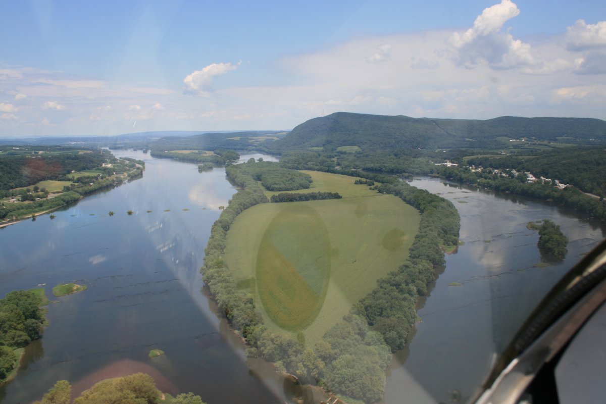
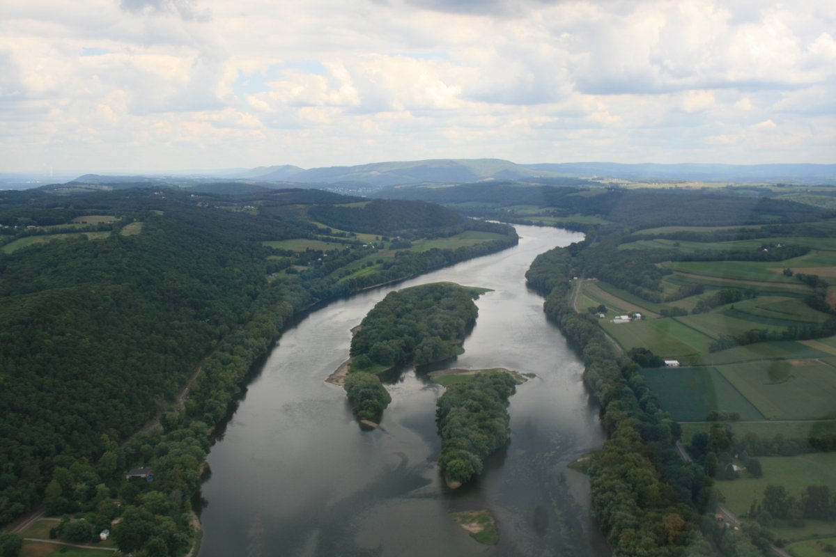
| Another big island. |
| |
 |
|
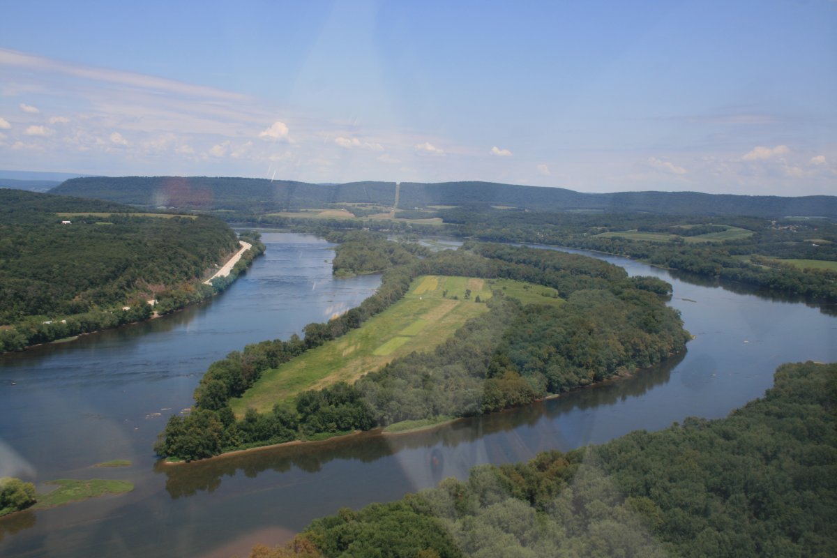
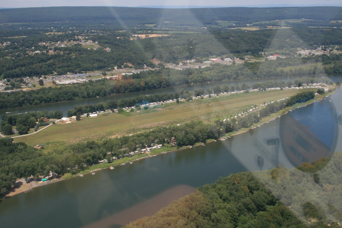
| Wow. Looks like a big wide landing area. |
| |
 |
|
| Remnants of a bridge that once crossed the river here. |
| |
 |
|
|
On the west side of the river is Penn Valley Airport (KSEG). I landed here once in the Citabria on a Trunk Monkey flight.
|
| |
 |
|
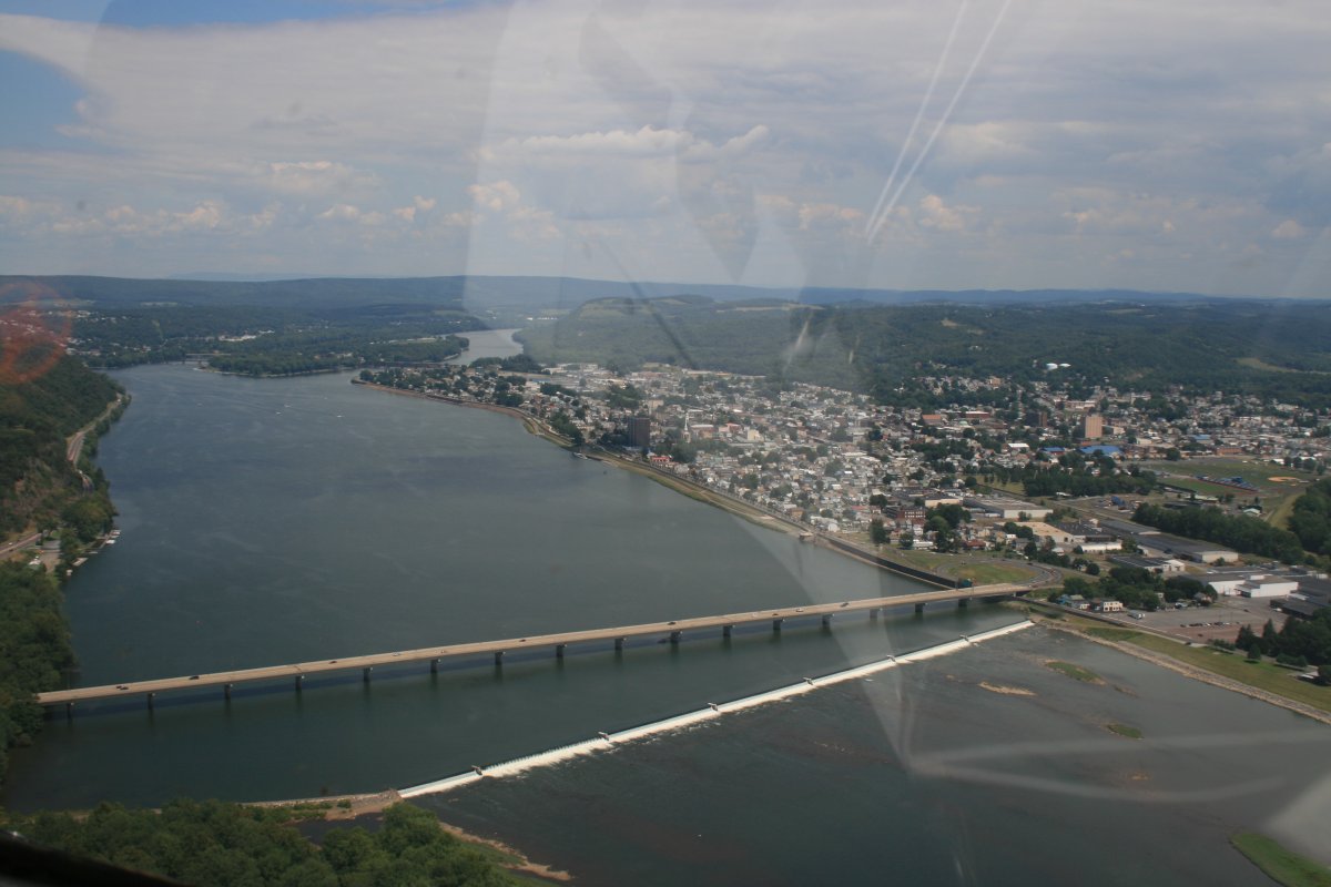
| Shamokin Dam near the town of Sunbury to the right. |
| |
 |
|
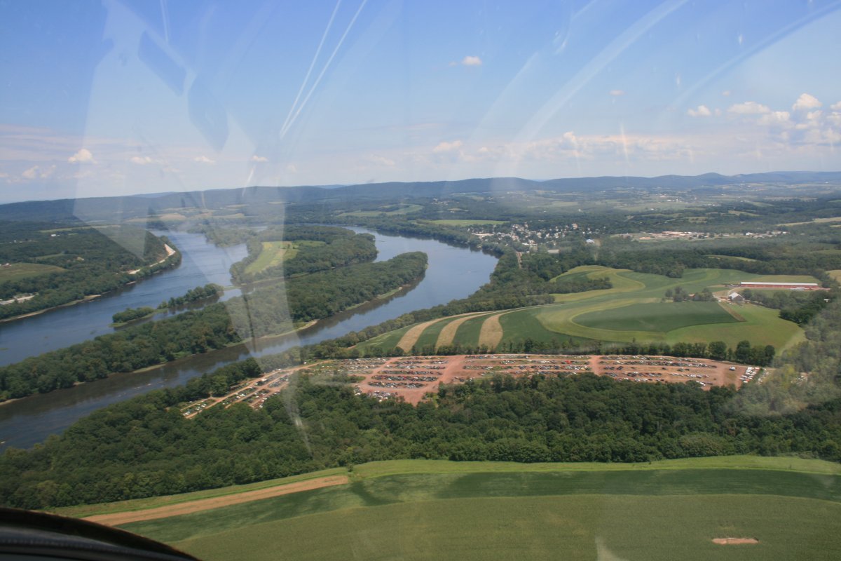
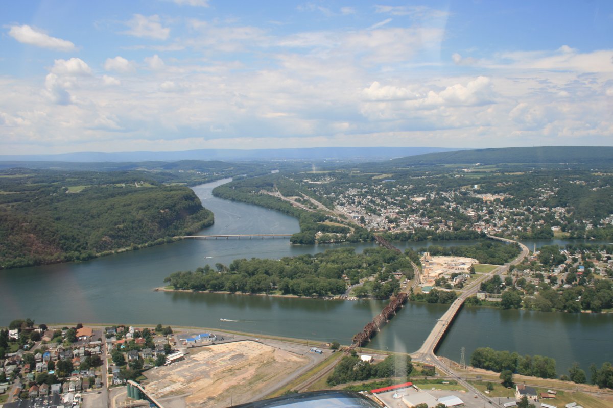
| The Susquehanna splits into two at Sunbury. The West Branch heads off to, you guessed it, the west, seen here at the top of the picture. The North Branch is considered the main branch of the river and heads off to the right of the picture. I would be following the North branch today. |
| |
 |
|
|
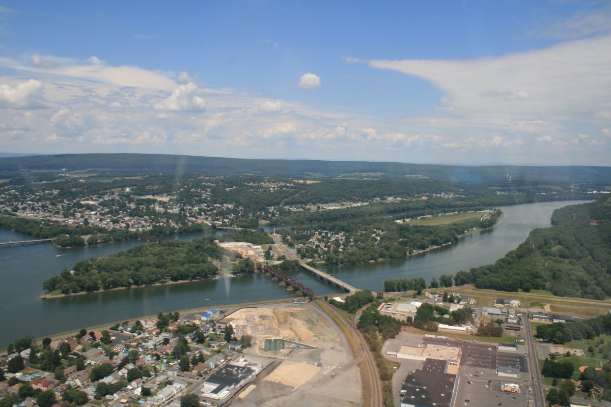
Just north of Sunbury is Packer's Island. At the north end of the island is a grass airport called Sunbury (71N).
|
| |
 |
|
| Sunbury Airport. I know you're probably sick of hearing this but I landed here once in the Citabria, on a Trunk Monkey flight. Don't worry, this is the last one. |
| |
 |
|
| Proceeding north from Sunbury. |
| |
 |
|
| |
|
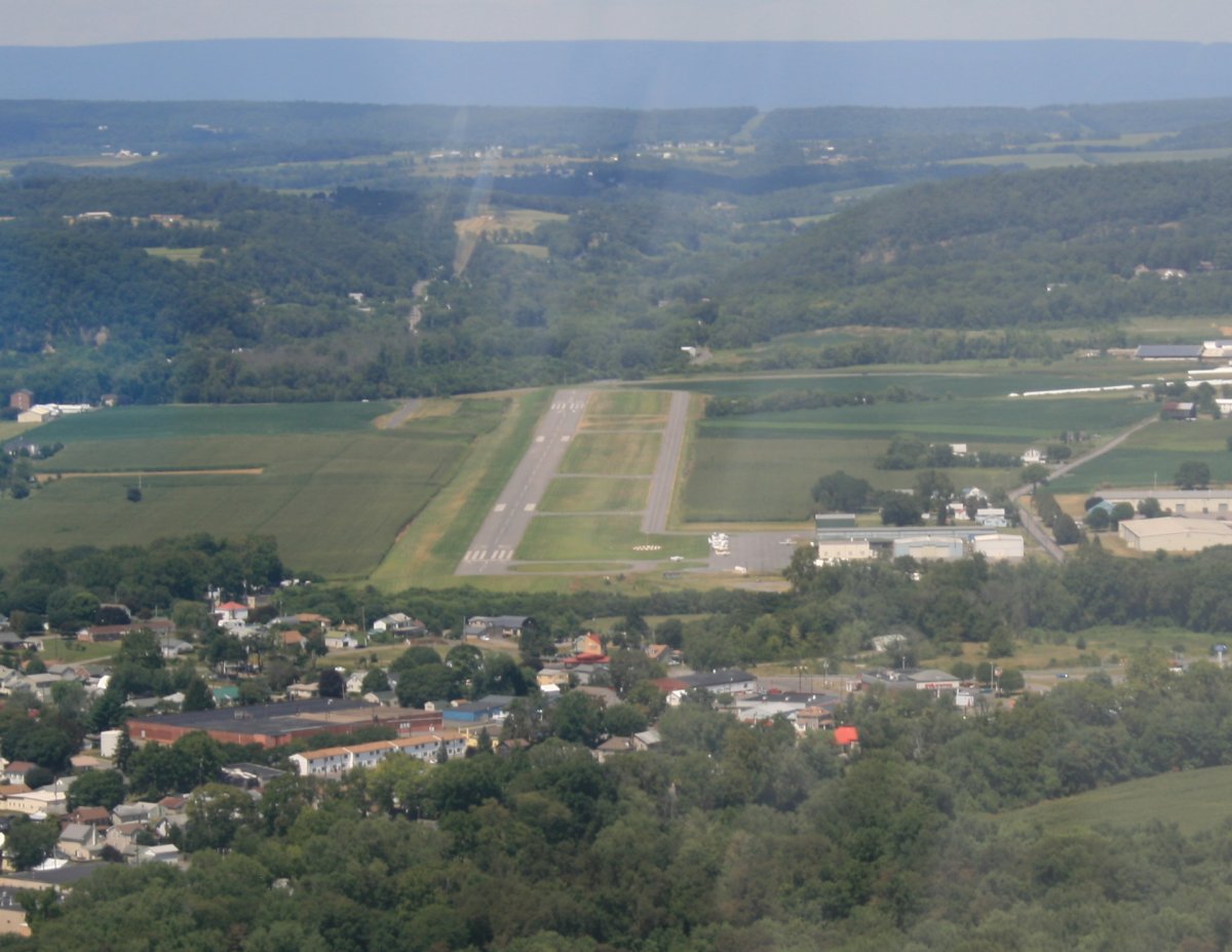
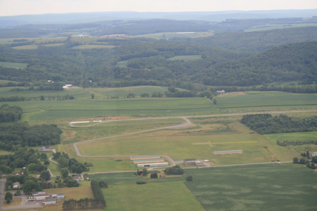
The interesting thing about this airport just off the river -- Danville (8N8) -- is the long, S-shaped taxiiway from the runway to the hangars and FBO. Never seen anything like it.
|
| |
 |
|
| |
|
Heading east now.
|
| |
 |
|
|
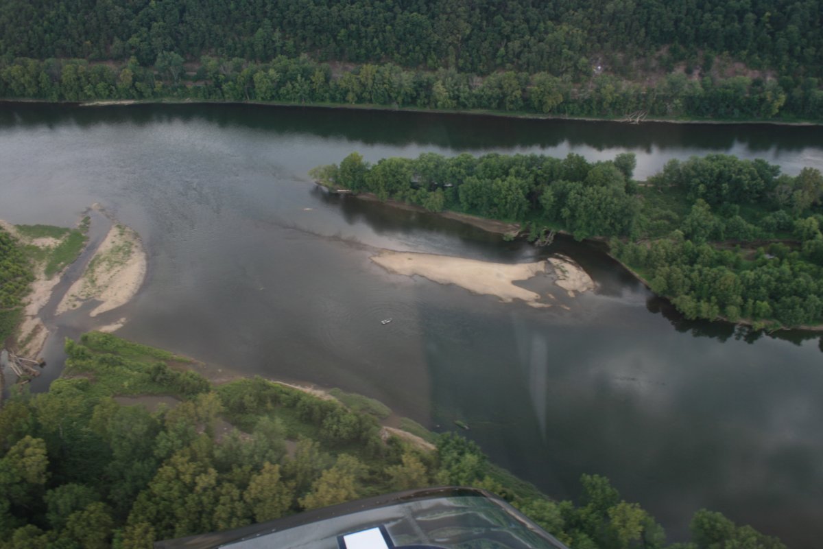
A little sandbar action.
|
| |
 |
|
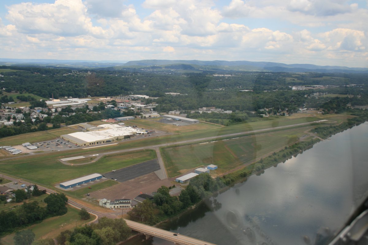
| Talk about being right on the river. This is Bloomsburg Airport (N13). |
| |
 |
|
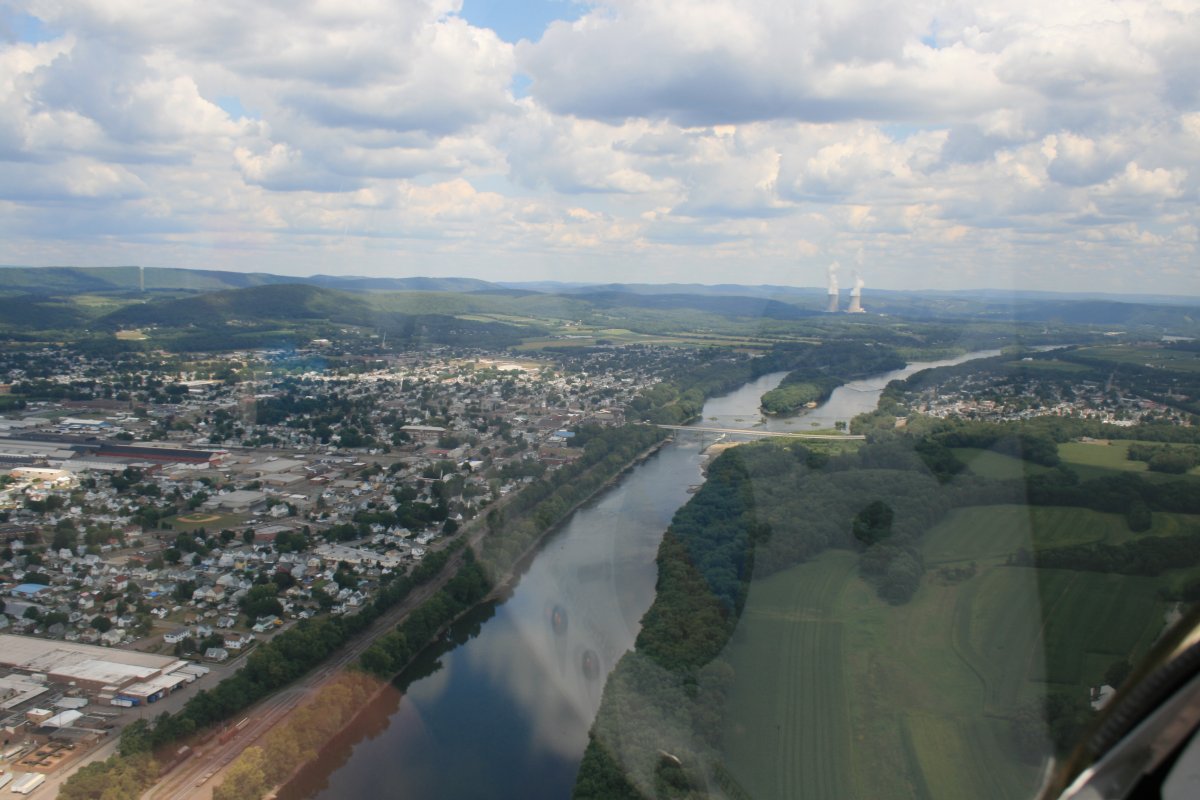
| Passing the town of Berwick with a couple of nuke cooling towers up ahead. |
| |
 |
|
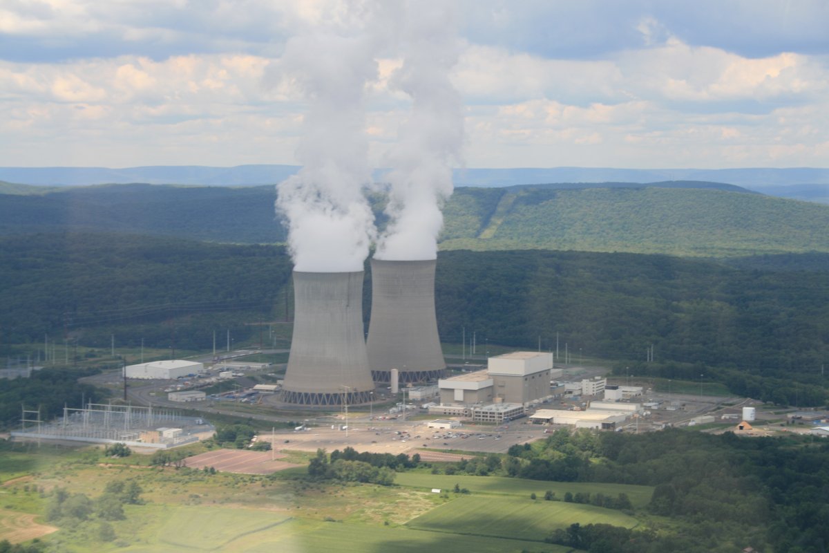
| A closer look. |
| |
 |
|
|
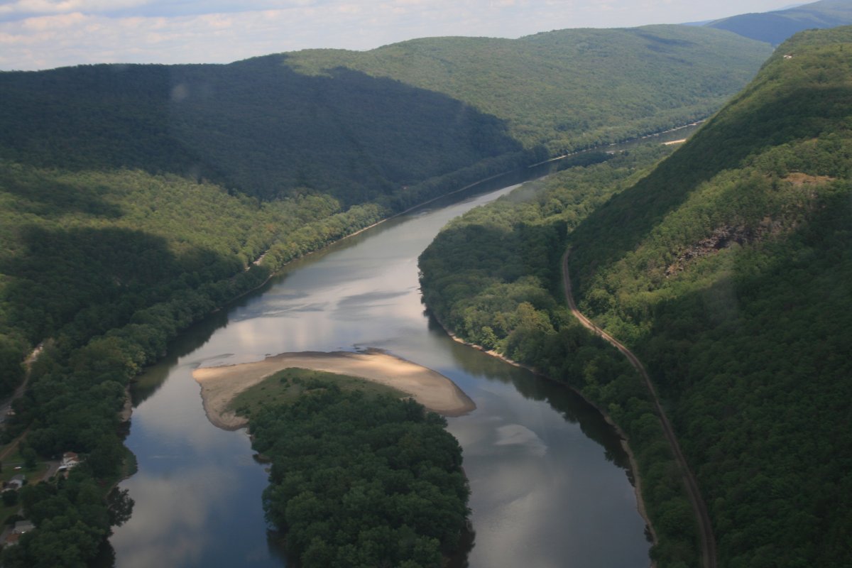
The river cuts through the tree-covered hills at this point.
|
| |
 |
|
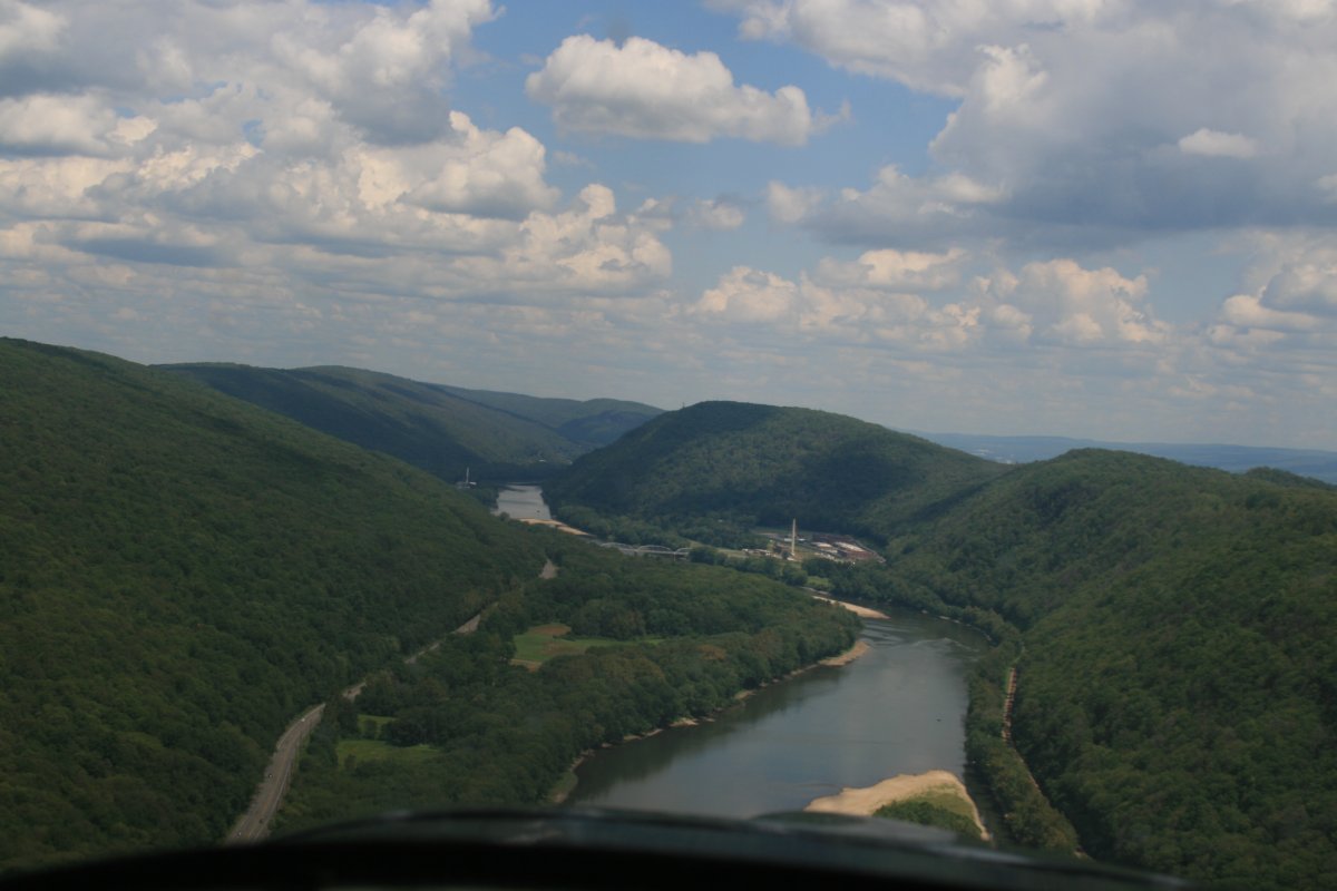
| Reminds me of the New River down in West Virginia. |
| |
 |
|
|
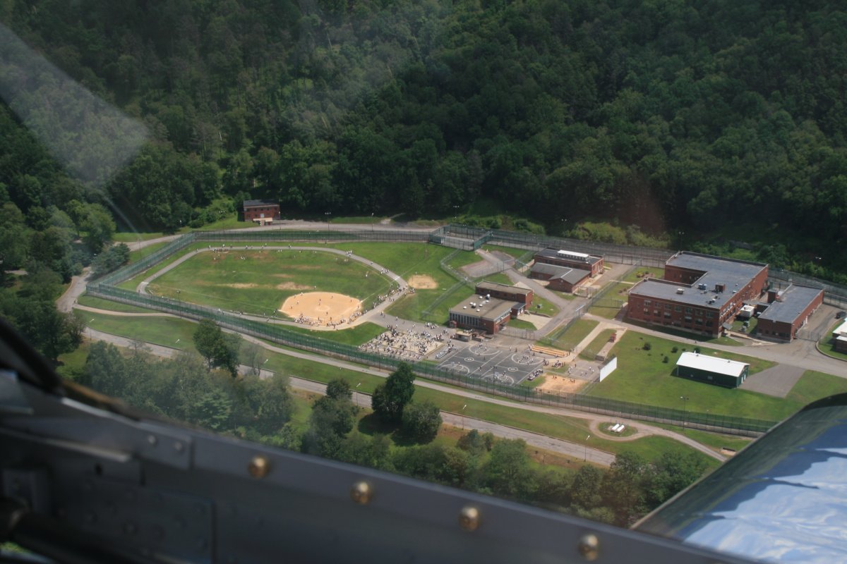
Looks like gave the inmates some outside time on this nice summer day.
|
| |
 |
|
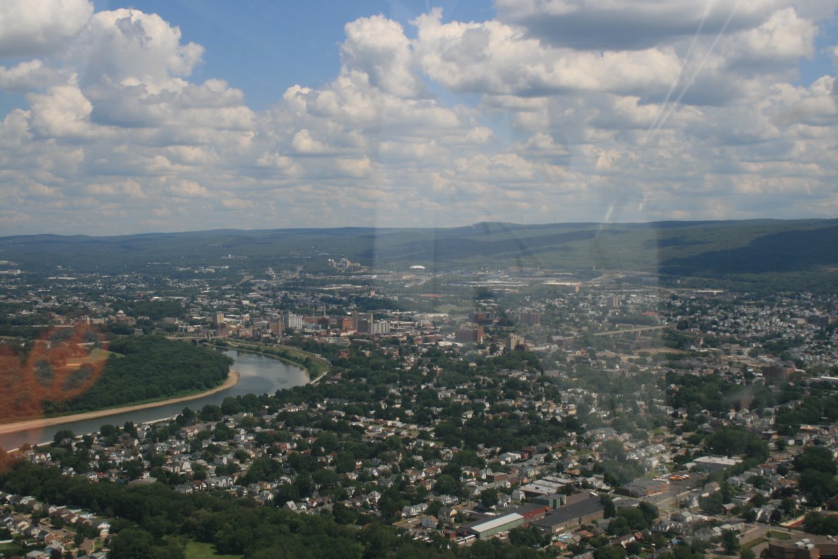
| Emerging out of the wilderness into the city of Wilkes-Barre. This is new territory for me. I've never been in this part of the country before. |
| |
 |
|
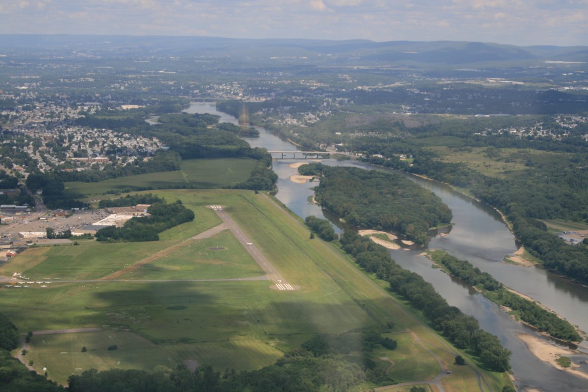
| Wilkes-Barre Wyoming Valley Airport (KWBW). Judging from the comments on AirNav, a good place to stop. But not for me today. |
| |
 |
|
| |
| |
| |
|
|
|
|
|
|